HAOR, BAOR, BEEL
SHIMMERING WITH POSSIBILITIES
An integrated platform for real-time monitoring, project tracking, and resource development in the North-Eastern region of Bangladesh.
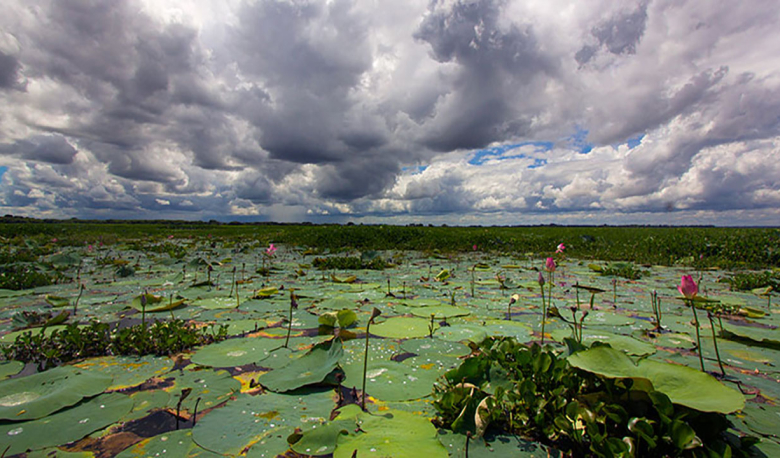
Exploring the Haors of Bangladesh
Embark on a journey to uncover the mesmerizing beauty and rich cultural heritage of Bangladesh's haors. Dive into the heart of this enchanting world as we explore the serene waters and lush landscapes.
System Capabilities
The ONE DBHWD platform provides comprehensive tools for government officials, researchers, and project managers.
GIS Mapping
Interactive geospatial data visualization of Haor boundaries, water levels, and infrastructure projects using advanced GIS layers.
Flood Forecasting
Early warning systems integrated with meteorological data to protect Boro rice crops and fisheries from flash floods.
Project Tracking
Monitor the physical and financial progress of development projects, embankment construction, and dredging activities.
About The Initiative
Preserving the Lifeline of the North-East
The Haor basin is a unique wetland ecosystem of national importance. It plays a vital role in fisheries, rice production, and biodiversity. The ONE DBHWD system digitizes the management of these resources to ensure transparency and sustainability.
- Smart Resource Allocation
- Livelihood Improvement
- Biodiversity Conservation
Haor Statistics
and Insights
Stay up to date with our Master Plan of Haor Area.
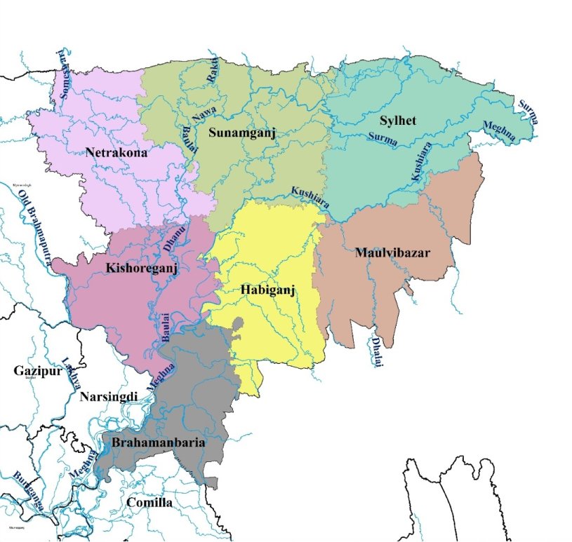
Haor Region Map & Districts
The Integrated Haor and Wetland Information System (ONE DBHWD) primarily monitors and manages districts in the North-Eastern region.
Loading districts...